
Hike to a Bronze Age Stone Circle in North Wales
Purchases made through some links on this page may provide The Detour Effect with commissions (at no extra cost to you). Thank you!
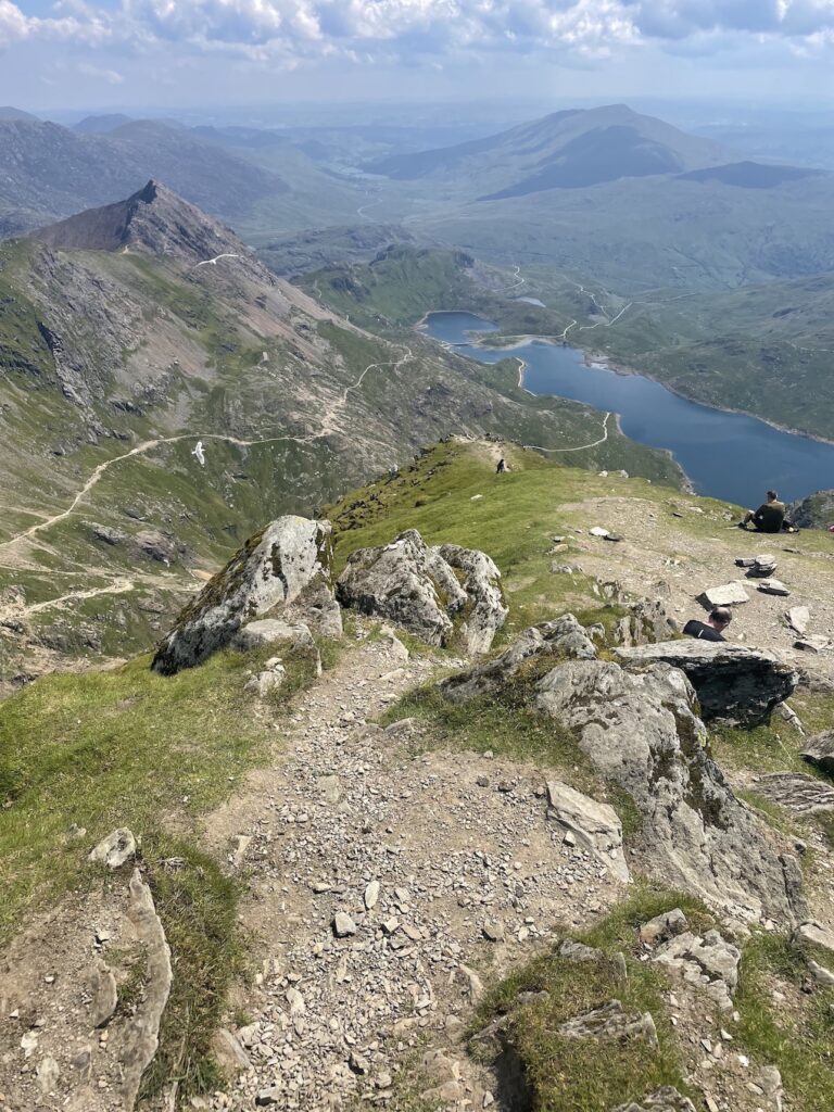
There are plenty of spectacular hikes to discover in Snowdonia National Park in North Wales, including of course the famed tallest peak of England and Wales, Snowdon, and the Cantilever Stone in the rugged Glyderrau range. The center of the park is rocky and scrambly, a favorite for climbers. Less known are the endless interconnecting routes zigzagging across the gentler, windswept Carneddau range to the north. Here you’ll find one of my favorite hikes to a Bronze Age stone circle called Meini Hirion.
No-one knows for sure what the Druids believed, how they lived, or what their customs were. We do know they passed knowledge down through oral tradition so that it could not fall into the wrong hands, and because the written word would tarnish their wisdom (if only other writers of religious texts could have also foreseen how their word might be bastardized…). Thus, it is very difficult to parse out the truth from the mass of fiction and speculation that has been propagated about these religious, legal, political, and philosophical leaders of early Celtic peoples. They left no accounts of their own to counter those of the biased Romans. They were probably not the barbaric, future-seeing witches the Romans reported, nor the all-knowing godlike priests that fantasy novels like to portray them as. Still, because we don’t know, wherever they fall on the spectrum between these two extremes is equally mysterious.
Here in Wales, the country with a dragon emblazoned on its flag, I feel as if I’m breathing in their mythical lore anytime I ramble in the hills. At the risk of sounding like I’m falling into a trap of stereotypes, I must admit that visiting Wales has opened a portal back in time for me. There’s something ancient and magical in the air drawing me in, like I might tap into a personal ancestry connection that has been long lost. I watched a YouTube video on the history of Wales, and the creator said Welsh sounds like the language dragons would speak. I’ll add that the mountains of Wales also make the perfect hiding place for a dragon’s den – or a Druid circle.
Prefer a guided group hike in Snowdonia? Adventure Tours UK offers a 5-day “14 Peaks” extravaganza that includes the Carneddau range.
History of Meini Hirion
According to the Penmaenmawr Museum, “Meini Hirion acquired the nickname ‘Druid’s Circle’ in the nineteenth century, due to the popularity of druidic folklore. When the cremated bones of two children were found in pots at the site, some people thought that they had been sacrificed as part of a druidic ritual. However, there is no link between Druids and the monument.”
“Meini Hirion” means “long stones” in Welsh.
The area is rich with prehistoric sites including burial mounds, standing stones, and the remains of huts. While the uplands of Penmaenmawr can’t be immediately tied to the Druids, it’s proximity to Anglesey makes me wonder. The nearby island is one of the most prolific locations in Wales when it comes to druidic history. This is the location of their famous last stand against the Romans, and the ensuing massacre.
Anglesey was their sacred home and according to the BBC:
“Many, if not most, of the druids actually lived there and were certainly on the island when Suetonius attacked….Tacitus gave the following description: ‘On the shore stood the forces of the enemy, a dense array of arms and men, with women dashing through the ranks like the furies — The druids pouring forth dire imprecations with their hands uplifted towards the heavens, struck terror into the soldiers.’ Such fear did not last long. Urged on by their officers, the Roman cavalrymen swam their horses across the Straits while the infantry made the crossing in small, flat-bottomed boats. And when they reached the Anglesey side, their blood-lust knew no bounds. Tacitus simply said: “they bore down upon them, smote all who opposed them to the earth and wrapped them in the flames they had themselves kindled.” What happened was a massacre. Men, women and children – armed and unarmed, young and old – fell under the swords of the Romans. The bodies of the dead and dying were unceremoniously hurled onto makeshift funeral pyres.”
— Phil Carradice, “The death of the druids”, BBC
How to Hike to Meini Hirion Stone Circle

Getting there: Transport For Wales is the train line that will bring you to Llandudno Junction, and from there you can hop on the 5 bus to get to Conwy, Dwygyfylchi, or Penmaenmawr.
Watch this video on how to pronounce the Welsh double LL sound in “Llandudno”!
There are a few different walking routes to reach the Meini Hirion stone circle. An easy GPX track starting from the town of Dwygyfylchi can be downloaded from AllTrails. This combined with the GPX track starting from Penmaenmawr, which I downloaded from Walking Britain, form the red and orange tracks on the map image to the left (or above if you’re on mobile).
My ideal route was to combine these with the hike to a mountain called Tal y Fan, which can be downloaded from AllTrails (it’s the blue track on the map image. The purple track is a loop hike to Conwy Mountain and Conwy Castle, which I suppose you could tack onto all this as well. I did that a different day; more on this below).
The trail to Tal y Fan starts at Sychnant Pass, but if you have an Ordinance Survey Map or a navigation app like GAIA, you’ll see there are a few smaller trails connecting the Dwygyfylchi walk with the Tal Y Fan walk to make a counterclockwise loop, so you could start and end in Dwygyfylchi and cut out Sychnant Pass if you like (this is what I did for a total of 8.6 miles walking). However, there is a car park at Sychnant Pass which might be most convenient for you. If you park in Dwygyfylchi it will be parallel parking in a residential neighborhood.
The hosts at my AirBnB showed me a newspaper article from 1996 describing a loop, written by Dawn Gibson. What we’re trying to create by connecting these different trails is similar to her route here:


Climbing up the footpath from Dwygyfylchi was a taxing uphill ascent, but once I reached the top, it was smooth sailing. You and the sheep will ramble over gently sloping hills and across meadows to reach the stone circle, which overlooks the bay and guards its domain in glorious, sacred tranquility. This is where I met my first group of wild Carneddau ponies grazing just near the circle, perhaps watching over it.


Not far from the first circle is another smaller stone circle. Then, to reach Tal y Fan from here you’ll take a faint “trail” across an open meadow in the opposite direction of the bay. This is where I met a second family of stunning wild Welsh ponies:


The ponies didn’t seem phased by me at all. The foals took an interest but the older horses carried on grazing when I passed near them. I was happy not to scare them off or send them running like the sheep they share the hills with. Their coloring is beautiful; I especially liked the reddish ones with the blonde and black manes and tails.
As you approach Tal Y Fan there will be some muddy marshlands (probably worse after a recent rain) as you slowly ascend towards the mountain. This was quite gradual and didn’t have me out of breath. Eventually you’ll come to a long stone wall with a turnstile that you could climb over to get a view of the other side of the mountain or to take a trail towards Rowen, but we’re not going that way. Instead you’ll follow the stone wall up to your left towards Conwy; you could climb Tal Y Fan or take a detour around it. This area had me reminiscing about hiking Hadrian’s Wall.
As you follow the wall it will be very windy since you’re basically at the top of the dividing line between two downward slopes, although I’m not sure I would call it a “ridgeline” since it’s not a particularly sharp ridge. For this whole section you will have expansive 360° views all around you.


Next you’ll start to make your descent. This section has a lot of points of interest to keep you entertained despite the fact that the stone circles are far behind you now. I came across ruins of old stone buildings, and a narrow passageway between two rock walls that begs to be explored.


This is where you can choose your own adventure when it comes to ending your loop. Do you want to return all the way to Sychnant Pass, or take one of the side trails to connect back towards Capelulo and Dwygyfylchi? Personally I decided to cut across one of the side trails connecting the blue and orange routes on the map, but if you have the time and enthusiasm, I’d recommend taking the purple track clockwise up to Conwy Mountain and down to Conwy Castle.
If you do this, don’t bother with the eastern side of the loop, which is just road walking and cutting through people’s sheep pastures.


Bonus: Conwy Mountain and Conwy Castle


Hiking up to Conwy Mountain from Sychnant Pass starts with a climb, but it’s brief. Overall this hike is pretty gentle and allows you to take in sweeping views of Conwy Bay. It won’t feel quite as remote as the hike to the stone circle because you’ll be able to see the town on Conwy in the distance; can you spot the castle near the water in the last image in the gallery above?
Conwy Castle was built by Edward I from 1283 to 1287; it took only four years to complete! During his conquest of Wales, Edward was on a mission to construct castles throughout the country in order to establish English strongholds and intimidate the rebellious Welsh. This is also why Conwy is surrounded by a defensive stone wall.
The castle is in incredible condition today. I was blown away that it’s not in ruins. You can walk inside the grounds, along the ramparts, and ascend spiral staircases up each tower.


Non-Hiking Guided North Wales Day Trips Including Conwy Castle or Snowdonia
Snowdonia: The Three Castles Tour (Day Trip from Llandudno)
From Manchester: North Wales Sightseeing Adventure Day Trip
From Manchester: North Wales, Snowdonia, and Chester Tour
From Liverpool: North Wales Sightseeing Adventure Day Trip
From Chester: Full-Day Guided North Wales Sightseeing Tour
Portmeirion, Snowdonia and Castles Tour (Day Trip from Llandudno)
3-Day Snowdonia, North Wales & Chester Small-Group Tour from Manchester

While you’re at it, Conwy is a cute town to explore in and of itself. You’ll find plenty of shops and restaurants while wandering the streets, including a Mountain Warehouse which is nice if you need hiking gear (there are larger outdoor gear shops in Llandudno, a bus ride away). Along the docks you’ll find the Smallest House in Great Britain!
Tips for Hiking in the Carneddau
Welsh or English mountain guides and bloggers always recommend being prepared for any type of weather, as it can change on a dime. If rain or mist blow in, you may find it difficult to see and navigate. For that reason, and because the trails are often faint and unclear, it’s a good idea to bring a hard copy Ordinance Survey map and compass. I like to download offline maps on my phone too. I always hike with a portable charger in case I lose phone battery and a Garmin InReach Mini with an SOS button for worst case scenarios, but besides potentially getting lost, there’s not much that could really happen to you on this trail.
This hike is not technical. There is no rock scrambling involved unless you want to make your way all the way up Tal y Fan and there are no steep cliff drops. Personally I would stress that it’s important to be prepared for sun exposure on the stone circle hike or the hike to Conwy! There is not any tree cover or shade anywhere along these routes. I forgot my hat the day I was hiking and got sunburnt pretty bad.
The local 5 bus has a route connecting Penmaenmawr, Dwygyfylchi, and Conwy, so if you parked a car somewhere, you could take the bus back to the start if the weather turns or you don’t feel like hiking back from Conwy. Just be aware that the bus stops are not right at the trailheads, so once you are dropped off there would still be some walking involved to get back to your car.
🏨 Find budget hostels near Conwy or Llandudno, or standard hotel options here and here.
✈️ Coming to Wales from further afield? Use an Airalo eSIM for affordable international cell data and don’t forget to protect your investment with travel insurance.
I find that my favorite hikes in the world combine ancient history with outdoor adventure. I loved learning about Scottish history along the West Highland Way, for instance, since you encounter sites relevant to the Jacobite Rebellion. Along Hadrian’s Wall you learn about Roman conquest of Britain. Pictographs in the Grand Canyon give insight into the lives of Native American people. This stone circle hike in North Wales encouraged me to ponder the rituals of ancient Celts. What do you think was the purpose of the stone circle? Was it a burial ritual, a portal aiding the dead onto the afterlife? Was it a solar calendar? An alien landing pad?
Related:


Pin it:

My dream is to write travel and hiking content full-time. All of my guides and itineraries are free and my travels are self-funded. If you enjoy my site and would like to support, you can donate any amount to my Ko-fi page. Thank you!!
Great article and photos! I loved my one-day car tour of Wales (a few castles, a Bronze Age hut group) while staying in Ruthin.
I’ve never been to Ruthin, but looks like it’s very close to where I stayed! Must have been a great base right there near Conwy, Snowdonia, and Anglesey. I would have liked to see the huts. Was one of the castles Conwy Castle?
Woot wooot! I am so flipping happy that you are enjoying Wales – and that you are writing about it! PLUS you somehow managed to hike on a perfect blue sky with floofy cloud day!
Isn’t it fabulous for the mix of incredible scenery, long history with impressive castles and rock formations!? My mum and dad often go searching for standing stones and stone circles- so I’ll send mum this post so she can have a peek too. 🙂
I feel like Conwy Mountain and Conwy Castle deserves it’s own post! It’s so cool!!
I love adventures that incorporate history and beautiful views! This reminds me of a short hike I did around Achill Island in Ireland. Much of my ancestry can be traced to the U.K. so I know what you mean about wanting to tap into an ancient ancestry connection. And I would love to see those ponies!
Oooh yeah Ireland is great for these kinds of artifacts too! I remember wedge tombs and ogham stones on the Kerry Way. I should check out Achill Island.