

3 Day Grand Canyon South Rim Itinerary for Hikers
Purchases made through some links on this page may provide The Detour Effect with commissions (at no extra cost to you). Thank you!
Hiking enthusiasts may prefer to plan a long overnight backpacking trip, but we don’t always have the ability to take so much time off work. Sometimes the best you can manage is a three day weekend. At the Grand Canyon’s South Rim in Arizona, if you’re able to win a permit in the lottery, in three days you can backpack and camp below rim via one of the overnight routes I wrote about in my Ultimate Grand Canyon Hiking Guide. If you were not lucky enough to get a permit, or if it’s your first visit to Grand Canyon National Park and you prefer to get your feet wet with some day hikes, this 3 Day Grand Canyon South Rim itinerary will be more up your alley. This itinerary is designed for intermediate hikers.
I used to live and work onsite at the Grand Canyon South Rim, and now I work for a guided trekking company that offers trips in the Grand Canyon. Obviously I’d advise that you could spend a lifetime exploring the canyon, and I think hiking enthusiasts should come back on repeat trips and try to backpack to the bottom of the canyon to get the full picture. That said, I do think you can get a very thorough and satisfying perspective on the national park in just three days. It is still worth it to visit the South Rim even if you don’t have a lot of time.
Remember that the South Rim is different from the North Rim, and Grand Canyon National Park is different from the Havasupai Native Reservation (where Havasu Falls is located) or the Hualapai Reservation (where the Skywalk is located). To clear up any confusion about geography, check out my Ultimate Grand Canyon Trip-Planning Guide.
⚠️ The Park Service does not advise hikers to go all the way to the bottom of the canyon and back in one day. For that reason, this Grand Canyon day hike itinerary involves hiking about halfway down the canyon each day, then turning around and retracing your steps back to the rim.
☀️ Start hiking early in the morning to avoid hot temperatures. In the summer months of late-May to early-September, this means getting started before sunrise and wearing a headlamp. Pack 2-3 liters of water in shoulder seasons and 3-4 liters in summer (or better yet, just don’t go in summer). Please reference my Grand Canyon hiking guide for more safety information and best practices.
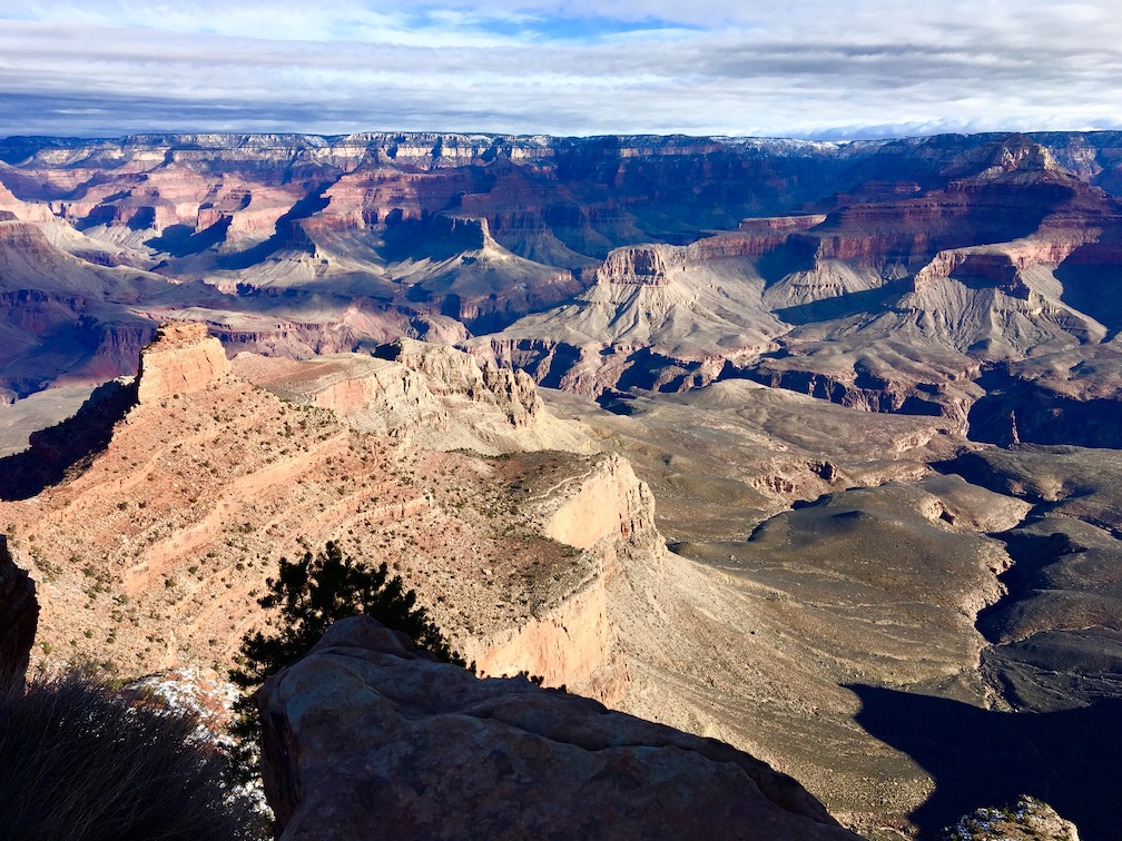
Day One: East Rim
Day Hike: South Kaibab Trail
Amenities: Pit toilet at Cedar Ridge (1.5 miles down). No water sources. Pack all water in.
Trailhead: Take the free orange shuttle to reach South Kaibab trailhead. You can’t park a vehicle at the trailhead.
Keep in mind: If you must cross paths with a mule train, stop walking, get over to the wall side of the canyon, and let the mules pass on the canyon side. Don’t make sudden movements or spook the mules.
AllTrails / NPS
There are two main “Corridor trails” that begin from the South Rim of Grand Canyon National Park. Corridor trails are very well-maintained by the Park Service year-around and have amenities such as pit toilets. They get a good amount of foot traffic, so you are likely to see other hikers, mule riders, and maybe some park rangers on the Corridor trails. Most people who visit the park and want to do some hiking will prioritize these two famous trails. South Kaibab is one of them.
A good day hike on South Kaibab trail would be to hike down to Skeleton Point (3 miles from the rim) and back (6 miles roundtrip). Remember that the ascent is going to be very steep, so while 6 miles may not sound like much to avid hikers, this trail will still provide a good uphill challenge. Going much further than Skeleton Point would suck, to be quite frank – at least if you’re planning to return the same way. South Kaibab is a bit steeper than Bright Angel.
Ooh Aah Point is the first viewpoint you’ll come to 1 mile down the trail, followed by the big plateau of Cedar Ridge at 1.5 miles. When you reach Skeleton Point at 3 miles, you’ll be able to see the Colorado River! Upon reaching Skeleton Point, I always advise folks to wander slightly off South Kaibab trail a few yards to the west because there will be a better vantage point of the river. You’ll see other people sitting in this view area for a snack break.
If you want to do a really long day hike in the Grand Canyon, you could connect South Kaibab trail to Bright Angel trail via Tonto Trail. This is a 14 mile loop (or really more of a horseshoe). You’d continue past Skeleton Point all the way to The Tip-Off (4.5 miles down), which is where you’ll find the Tonto trail spur. Take Tonto across to Havasupai Garden, which is 4.5 miles down the Bright Angel trail, and ascend up to the South Rim via Bright Angel.
East Rim Sightseeing

The same orange shuttle that you take to reach South Kaibab trail will also bring you to the Yavapai Geology Museum and Yaki Point. The Geology Museum is small but informative, and has a massive viewing window from which you can spot Bright Angel trail, Plateau Point, and Phantom Ranch below. It’s fun to see this view from above today since you’ll be hiking Bright Angel trail tomorrow, and although we won’t reach Phantom Ranch on this trip, a view of it will inspire dreams of future backpacking excursions.
Yaki Point is a cool sunset view point for later in the day.
This is also a good time to check out the Visitor Center in case there are any Ranger Talks going on. Mather Point is just behind the Visitor Center; this is a very popular viewpoint and rock formation.
Since we’re already hanging out on the east side of the canyon, today is a good day to head to Desert View Watchtower. The shuttles do not visit the tower, so you’d need to drive your own vehicle or sign up for a paid bus tour. Xanterra offers a guided bus tour to Desert View Watchtower which also stops at Yaki Point and other viewpoints on the east rim. However, if you drive your own vehicle, you could add a stop at the Tusayan Pueblo Museum, where you can see the remains of an Ancestral Puebloan village (check the link for updates as they’ve recently been closed until further notice).
There are no restaurants on the east rim, so you’ll make your way back towards the main Village or leave the park to visit the town of Tusayan for dinner. Most visitors to the South Rim want to prioritize dining at El Tovar at some point, which is the “fanciest” restaurant option in the Village (whenever you hit up El Tovar, make a detour to check out Hopi House next door. It’s a gift shop with Native American art, and there are sometimes cultural demonstrations). At Maswik Lodge there is a full food court cafeteria and a pizza pub. Tusayan has low key restaurants, including a few pizza and pasta places and Mexican food.
East Rim Mule Rides
If you’re not up for hiking yet on the first day, a mule ride is a fun alternative. The 2 hour Canyon Vista Mule Ride takes place at 8am and 12pm between March-October, or at 10am in winter. This mule ride goes along the rim and does not descend down into the canyon. It visits the eastern part of the South Rim in a similar region to where South Kaibab trail starts. The views won’t be exactly the same as if you hiked down below rim, but you will be able to spot some of the same rock formations from above. If you complete your South Kaibab hike early in the morning, you may still be able to make the noon mule ride. You must make reservations in advance.
Day Two: Central/Grand Canyon Village
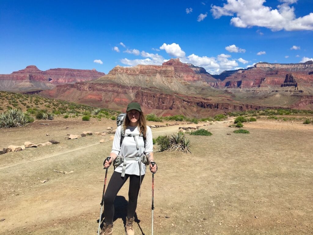
Day Hike: Bright Angel Trail to Plateau Point

Amenities: Pit toilets and potable water pumps at 1 Mile Resthouse, 1.5 Mile Resthouse, 3 Mile Resthouse, and Havasupai Garden (4.5 miles down). Check the backcountry water report here to make sure all the pumps are working.
Trailhead: It’s located right behind Bright Angel Lodge and Lookout Studio. You can park at the lodge, parallel on the street, or at the Backcountry Office. Alternatively, if you park at the Visitor Center you can take the free blue shuttle to reach the Bright Angel trailhead.
Keep in mind: If you must cross paths with a mule train, stop walking, get over to the wall side of the canyon, and let the mules pass on the canyon side. Don’t make sudden movements or spook the mules.
AllTrails / NPS
Remember to check the Alerts and Conditions page on the National Park Service website for the Grand Canyon. Plateau Point Trail has some upcoming closures.
The other famous Corridor trail is Bright Angel. Bright Angel is probably the “easiest” day hiking trail in the Grand Canyon because it’s somewhat wider and has a more gradual elevation profile than the others, and it’s also the most crowded because the trailhead is located in the main Village, but it has a challenging uphill ascent just like all the rest. “Easy” in the Grand Canyon is relative.
A good day hike on Bright Angel trail would be to hike to Havasupai Garden (4.5 miles from the rim) and back (9 miles roundtrip). The first 3 miles are steep, but the last 1.5 miles to Havasupai Garden level out. This means that on the return ascent to the rim, the last 3 miles will be the hardest. For a shorter stint, just aim for 3 Mile Resthouse (6 miles roundtrip) or 1.5 Mile Resthouse (3 miles roundtrip).
Frequent hikers may want to increase the challenge of Bright Angel trail by continuing on past Havasupai Garden all the way to Plateau Point, my favorite viewpoint on the South Rim. It’s 12 miles roundtrip. I wrote a full trail report about how to hike to Plateau Point here. Even if you don’t plan on hiking all the way to the Plateau, the trail report also details landmarks between the rim and Havasupai Garden, such as where to spot rock art pictographs.

The Most Beautiful Day Hike from the Grand Canyon South Rim
Grand Canyon Village Sightseeing
Hiking to Plateau Point and back is a long and strenuous day, so you may not have the energy to do too much sightseeing afterwards. Take it easy by having lunch or dinner at one of the restaurants nearby the trailhead, such as Harvey House Cafe or the Arizona Room, which are both located inside Bright Angel Lodge. There is a small museum inside Bright Angel Lodge called the Bright Angel History Room that focuses on Fred Harvey and the Harvey Girls, architect Mary Colter, and the Santa Fe Railroad.
Lookout Studio and Kolb Studio are located close to the Bright Angel trailhead too. Lookout Studio is mainly a viewpoint, but Kolb Studio has a museum on the lower level with artifacts related to early Grand Canyon photography, tourism, and exploration. Both are open from 9am-5pm daily.
Day Three: West Rim
Day Hike: Hermit Trail

Amenities: No toilets. Mules are not allowed on this trail. No potable water sources. You can source natural water from Santa Maria Spring or Hermit Creek; you should filter it with a Sawyer water filter. Hermit Creek is probably too far for a day hike though.
Trailhead: Hermit trail starts from Hermit’s Rest. Take the free red shuttle to reach Hermit’s Rest, or in December-February you can drive your vehicle and park here.
Keep in mind: “West Rim” can also refer to the Havasupai Reservation, but that’s very far west. In this context we’re talking about the west side of the South Rim.
AllTrails / NPS
Now that you’ve experienced the two most famous day hiking trails in Grand Canyon National Park, it’s time to branch out to a more obscure trail. Hermit Trail only gets maintenance from the Park Service once every three years or so, so it can be a bit more rugged. You may only see a few other hikers on Hermit Trail.
Many people enjoy day hiking to Dripping Springs and back. Dripping Springs is a spur trail that separates from Hermit Trail. The trail to Dripping Springs is very narrow with drop-offs on the side, so I don’t personally like it very much. I would prefer to stay on Hermit trail for a day hike to Lookout Point, which is 1.5 miles past Santa Maria Spring and 8 miles roundtrip from the South Rim.
Hermit Road Sightseeing

The trailhead will spit you back out at Hermit’s Rest, which is a historic building that was probably more interesting to visit back when it welcomed horse-drawn carriages. Today it’s mainly a gift shop. However, when the free red shuttle picks you up to bring you back to the Village, you might consider doing a hop-on hop-off when the shuttle stops at west rim viewpoints like Mohave Point and Hopi Point. These are also great sunset viewing locations for the evening.
Xanterra does a guided sunset bus tour on the west rim (and an interpretive Hermit’s Rest bus tour, though the non-sunset Hermit’s Rest tour starts in the morning so you wouldn’t be able to do it after the hike). If you’ve already ridden the free red shuttle bus, you may not feel the need to join a tour to the same region, but the guides really do add worthwhile context to what you’re seeing. When I did a bus tour on the west rim, our guide pointed out fossils that I never noticed before, and pointed to endangered California Condors flying overhead.
Grand Canyon South Rim Helicopter Tours

If you still have time, try to book a helicopter tour! This is a great way to end your Grand Canyon South Rim itinerary with a bang.
Papillon and Maverick both offer Grand Canyon South Rim helicopter tours. There are frequent morning and afternoon departure times with both companies. They depart from the small Grand Canyon airport in Tusayan or can sometimes pick you up from Maswik Lodge or other hotels in the park (don’t book one of the tours departing from Las Vegas).
Helicopters cannot land down below rim in the national park, but they can take you on a spectacular scenic flight above the canyon. Most of them hover over the west rim. After hiking below and flying above, you will have seen the Grand Canyon from nearly every perspective (all you need now is a rafting trip! These depart from Page, AZ).
🏨 Are all the in-park hotels already booked out? Find budget hostels near the Grand Canyon here, and standard hotels in Tusayan here.
🚗 If you have more days to spend outside of the national park, check out my favorite Northern Arizona Road Trip stops.
🥾 Prefer to hire a professional backcountry guide? Wildland Trekking offers guided day hikes and overnight backpacking and lodge-based tours in the Grand Canyon and around the world.
✈️ Coming to Arizona from further afield? Use an Airalo eSIM for affordable international cell data and don’t forget to protect your investment with travel insurance.
In just three days you can get a solid overview of the South Rim of Grand Canyon National Park. I did not include rafting the Colorado River because these tours do not depart from the South Rim, and I did not include mule rides below rim because these are booked through an extremely competitive lottery system more than a year in advance. Horseback riding tours are also not really a thing on the South Rim, unless you’d like to ride in the Kaibab National Forest outside the park in Tusayan. With these activities excluded, you can really complete everything else the South Rim has to offer in a short amount of time.
Of course, after following my 3 Day Grand Canyon itinerary, your appetite will be whet for making it to the very bottom of the Grand Canyon on a return trip! By hiking to the bottom, you can experience seven different climate zones, encounter waterfalls, and meet the Colorado River. We’ll see you next time!
Related:


Pin It:

My dream is to write travel and hiking content full-time. All of my guides and itineraries are free and my travels are self-funded. If you enjoy my site and would like to support, you can donate any amount to my Ko-fi page. Thank you!!