

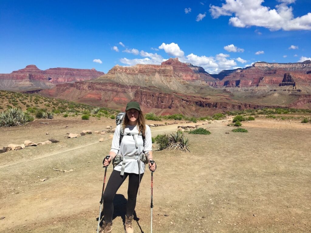
Hiking Cochise Trail in the Dragoon Mountains, Arizona
Purchases made through some links on this page may provide The Detour Effect with commissions (at no extra cost to you). Thank you!
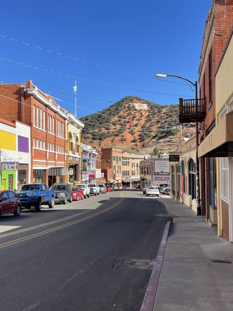
While staying in the charming historic mining town of Bisbee about as far south as you can possibly get in the state of Arizona, I’ve had the pleasure of exploring two mountain ranges I’d never even heard of before this trip. Last week I hiked in the Chiricahua Mountains, and this week I did a day hike on the Cochise Trail in the Dragoon Mountains. Both are considered “sky islands” within Coronado National Forest.
Sky Islands are isolated mountain ranges in southeastern Arizona and northern Mexico. Some of the mountains rise more than 6,000 feet above the surrounding desert floor making the lowlands and high peaks drastically different. Plants and animals living in the mountains could never survive in the surrounding deserts. Thus by analogy, the mountains are “islands” surrounded by deserts that are “seas”. – US Forest Service

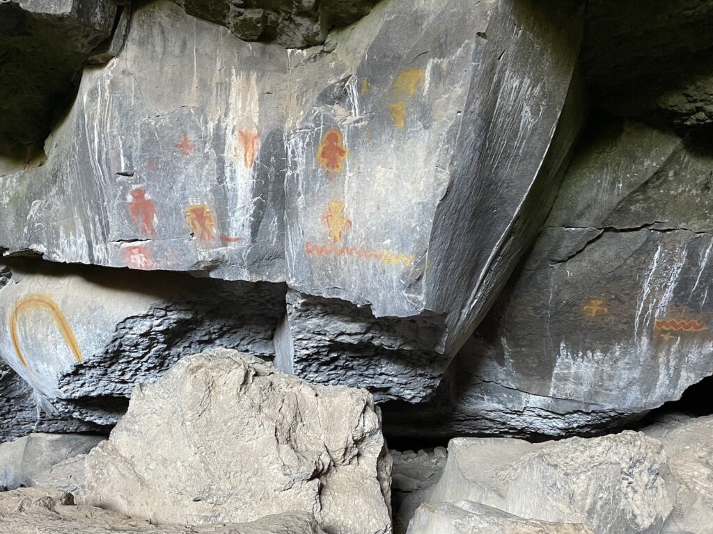
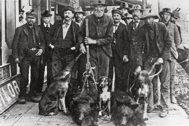
I’m especially fascinated by the Native American history in both ranges, which were home to the Chiricahua band of Apache. Famous figures like Geronimo and Chief Cochise fought for their lands and people here. The Dragoon Mountains became known as “Cochise Stronghold” during the Apache Wars. Chief Cochise is buried somewhere in the Dragoons, but the exact location was successfully kept secret by the Apache.
When you hike the Cochise Trail, you can cross the Stronghold Divide from the east canyon to the west canyon. Being able to cross between these two sides of the mountain range under concealing rock formations and brush is a contributing factor as to why this was such a perfect refuge for Cochise’s people. As you cross to the western part of the Divide, there’s also a great vantage point from which to observe the distant deserts from your sky island perch.
🔊 Recommended Listening: Stuff You Should Know podcast episode “The Apache Wars” for an accessible overview, or Distorted History episode “Apache Wars Part 2: Cochise and the Beginnings of the War with the United States” for an extremely detailed play-by-play.
Cochise Trail Stats:

Trailhead Location:
Cochise Stronghold Campground is on the eastern side of the Dragoon mountain range. Coming from Highway 191 in Sunsites, AZ, you’ll turn onto Ironwood Road which is paved at the beginning. It does ultimately turn into a washboard dirt road, although it’s nothing treacherous. You’ll be on flat land rather than a mountainside. This rough driving surface is more of a concern when there’s flooding; there are signs advising against driving it after heavy rains.
The trailhead for the short Nature Trail loop is the same trailhead you’ll use for Cochise Trail. Some other hikers at the campground were wandering around confused the day I was there, saying they couldn’t find the trailhead and could only find the nature loop. They are the same, and will ultimately split off from each other once you get like a quarter mile into the hike.
Cochise Trail Parking:
When you get to Cochise Stronghold Campground, there is trailhead parking to the left and right of the bathroom. If you have an America the Beautiful Annual National Parks Pass, this can be displayed in your window. If not, you will need to pay $8 for day use.
Cochise Trail Mileage:
This is an out-and-back route. It’s about 6 miles roundtrip to Stronghold Divide and back, which is the destination most people aim for. This route is on the GAIA navigation app titled “Stronghold Divide via Cochise Trail #279”. However, you can continue all the way to the end of the trail on the western side of the Divide in order to clock a full 9.5 miles. This is the version you’ll find on AllTrails.
A Special Detour:
I have a special tip! As I was hiking, I stopped and chatted with a local who recommended that instead of going to the western endpoint of the trail, on one of the switchbacks soon after the Divide I should keep an eye out for a cairn on my right. This cairn leads off the main route and down to the “domes”, the strange rock formations that rock climbers come from all over the world to see. Ladies and gentlemen, I found the cairn, and I found the domes!
I am a little disappointed because they told me there was supposed to be a waterfall and some other beautiful features once I got there, but I wasn’t sure how far I was expected to continue on this off-trail route before I’d reach this storied “final destination”. At a certain point, the primitive trail seemed to split off in different directions and I didn’t know which way to choose. I worried I’d get confused trying to find my way back to the main trail on my return. I stopped short and didn’t find the waterfall. Still, I thought it was cool to climb down the canyon to where I could look up at all the strange Joshua Tree-esque rock formations from below. It definitely felt like a cool, hidden little spot. Below I’ll do my best to describe how to find it.
Cochise Stronghold Trail Report:

To begin the Cochise Trail from Stronghold Campground, you’ll cross a short bridge over a dry ravine and then turn left onto the Nature Trail loop. It’s a gentle, grassy walk where you can stop to read signs about the vegetation.
You’ll follow signs to split off from the Nature Trail and onto Cochise Trail, which remains leisurely as you weave around a dry creek bed. During this portion you’re supposed to come across the “Cochise Spring”, but I didn’t see any water here in January.
I did see plenty of horse and cow poop! I thought the cowpies were odd and asked a local about it. Apparently the docile cows are normally kept on the western side and would not be seen in this area, but they were let out to roam temporarily.

The first point of interest for me was a rocky scramble to a small overlook that provides a hint of views to come. If you have a downloaded map, you might reference it here. This part could potentially be confusing as you look for the trail to pick back up from the plateau, but it’s hard to go the wrong way for long as you’d hit a dead end.
From here on out, you’ll continue to have views of odd Dr. Seuss-esque rock formations. The horizon will become an abstract tapestry of jagged peaks. You’ll be gradually ascending up to the Divide, but personally I hardly noticed it. I wasn’t huffing and puffing too hard. I would not rate this hike as difficult.
As you approach Halfmoon Tank, you’ll find some shade in a forested area full of berries. This soon brings you to the water dam built in 1952. The water was stagnant and low when I was there in January, but perhaps is more inviting in other seasons.


Next up is my favorite viewpoint on the hike, The Saddle! You arrive at a vast plateau with scenic green mountains behind and rocky ridgelines ahead. This is a great place to stop for lunch or just break to take in the sights. I also saw evidence of a campfire here. As far as I can tell, no permit is needed for dispersed camping in this location.


From The Saddle it’s not far to reach the Stronghold Divide. You could turn back here, or continue through the gate and onto the western side.
If you decide to continue, then this is where you need to start keeping an eye out for the cairn for the detour to the rock domes.
The rock cairn will be on the ground on your right, maybe a quarter mile past the Stronghold Divide gate. It will be on one of the first few switchbacks. When looking at the AllTrails route map, you’ll notice there are some switchbacks closer to the gate and then further down there’s a second batch. If you reach the second batch of switchbacks, you’ve gone too far.


Once you’re off onto the side route, you’ll be descending all the way down to the canyon bottom quite quickly. I loved the views of the east and west sides of the range as I made my way down:


When you reach the bottom of the canyon, you’ll walk within a sandy creek bed as you follow more cairns towards the domes. This part is bushwacky and fun! You’ll be dipping under branches, stepping over logs, and squeezing between giant rocks, but none of it felt dangerous to me.
I came across pools of water underneath overhanging rocks, so the creek bed isn’t entirely dry. The sparkling water of little hidden oases made this whole portion of the hike enchanting and magical. Finally I arrived at a prime spot to admire these cartoonish looking rock formations:


This is where random spur trails will start to branch off, presumably leading climbers to access points to climb the rocks. At one point I hit a dead end where the trail didn’t seem to continue unless I wanted to actually start going up one of the rocks. Perhaps that’s where I would have found the waterfall they spoke about? I wasn’t too keen to guess and get extra off-route, so I turned back here. When I got home, I found this warning for climbers online: “The terrain is rugged and maze-like, and it is generally easier to get lost than to get where you are going. Allow plenty of time for approaches and err on the side of caution.” That sort of validated my decision.
If you feel like exploring further, choose your own adventure and you’re guaranteed to find something unique! Just be prepared and perhaps consult climbing resources in your research beforehand, or be extra confident in your ability to decipher a topographic map.
🏨 Find free or paid campsites near Bisbee or standard hotel options in Bisbee.
✈️ Coming to Arizona from further afield? Use an Airalo eSIM for affordable international cell data and don’t forget to protect your investment with travel insurance.
I’d love to come back and do some more exploring in this remote mountain range. Arizona never ceases to surprise me as I continue to find more nooks and crannies throughout the state! What’s your favorite lesser-known hiking destination in Arizona?

Hike Among Hoodoos in Chiricahua National Monument
Related:


Pin It:

My dream is to write travel and hiking content full-time. All of my guides and itineraries are free and my travels are self-funded. If you enjoy my site and would like to support, you can donate any amount to my Ko-fi page. Thank you!!